It is challenging to communicate the benefits and costs of green stormwater infrastructure, especially in comparison to conventional “gray” infrastructure. Environmental resource managers need an easy-to-use tool to measure and visualize the incremental contributions that different green stormwater infrastructure practices can make to meet community stormwater capture and infiltration goals, combined with a way to locate these practices through collaborative scenario design processes.
What is Geodesign?
Geodesign is a collaborative design process that uses geospatial technology to consider the current features of a landscape and to create, analyze, and compare planning scenarios. While green infrastructure cannot solve all urban stormwater issues, geodesign technology provides a means to measure and visualize the cumulative benefit that many practices in sufficient density can help take the burden off gray infrastructure. To learn more about geodesign visit: https://www.esri.com/en-us/arcgis/geodesign.
Esri [ArcGIS GeoPlanner]
ArcGIS GeoPlanner is a geodesign platform developed by Esri that allows users to visualize and draw different scenarios, analyze their benefits and drawbacks at a variety of scales, and use map layers to choose suitable locations for green stormwater infrastructure practices.
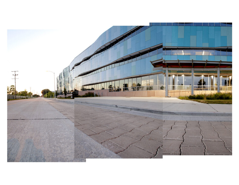
Wisconsin Sea Grant began development of an ArcGIS GeoPlanner template for green stormwater infrastructure in 2019. An early test of the template was a student project to design green infrastructure scenarios for a section of the University of Wisconsin-Madison campus that drains to Willow Creek with the goal of mitigating a modeled 9 million gallon increase in future precipitation. The project sketched green infrastructure practices using GeoPlanner to determine the amount of stormwater different scenarios could capture or infiltrate, along with the construction and maintenance costs of implementing the scenarios.
Green stormwater infrastructure scenarios for part of the University of Wisconsin-Madison campus, created using ArcGIS GeoPlanner.
Wisconsin Sea Grant, 2023. [Lesson: Geodesign to Support Green Stormwater Infrastructure]
This lesson features a series of steps to build a green stormwater infrastructure geodesign application using ArcGIS GeoPlanner. The resulting application allows users to design and compare different green stormwater infrastructure practices based on water capture and infiltration metrics, as well as construction costs. The lesson location is Green Bay, Wisconsin, but has broad applicability to other locations.