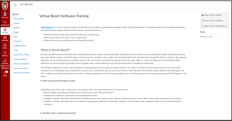
Virtual Beach is a free software program for Windows that enables coastal beach managers, public health professionals, and applied researchers to efficiently develop and operate water-quality models to inform beach-specific decisions on whether to issue (or lift) swim advisories/closures on a given day.
What is Virtual Beach?
Beaches provide coastal communities with substantial economic, social and health benefits. Along the U.S. Great Lakes coast, an estimated 8 million people visit beaches each year. Unfortunately, some information commonly used to evaluate water quality, communicate health risks and prioritize remediation efforts are 24 hours old, meaning swimmers can be swimming when conditions are not safe. Conversely, swimmers may be kept out of the water when no current problems exist. Virtual Beach (VB) addresses these shortcomings.
Should I Create A Model For My Beach?
A predictive water quality model is a tool that may work wonderfully for predicting bacteria levels at your beach while both REDUCING the number of bacteria samples you need to collect during the swim season and STILL protecting public safety. However, a predictive model is not an appropriate tool for every beach
. Using predictive water quality model for a beach has both
PROS and
CONS.
PROS:
- The model may predict bacteria levels at your beach more accurately than yesterday’s bacteria sample results.
- Sampling costs may be reduced in the long run.
- For beaches on the Great Lakes, additional weather and stream flow data may be available to allow for models to be created for use on non-sampling days so that predictions of bacteria levels at your beach could be made every day during the swim season.
CONS:
- The model building process can be time and money intensive
- Explaining to the public that a beach is under advisory because of a model result is often more complicated than just stating a bacteria result is over a standard.
- Models are not perfect and sometimes advisories will be issued when bacteria levels were low or not issued when bacteria levels are elevated.
Read more…
Training
Training modules for Virtual Beach are available as an asynchronous course in Canvas. Please contact Natalie Chin (nchin5@aqua.wisc.edu) for course access.

User Guides
FAQs
Best Practices for Operating and Maintaining Water-Quality Nowcasts
A list of commonly asked questions and suggestions for variables to use in building a VB model can be found in the document below:
Online Data Sources
To develop a VB model, one needs historical data on water quality (i.e., lab results) from two or more beach seasons, together with potentially related environmental conditions, such as stream discharge, antecedent rainfall, wave height, turbidity, waterfowl, etc… Depending on the beach, many if not all of these data will be available online, for free.
Read more…


