What goes on the land can sometimes end up in the water. In many parts of America’s Dairyland, that’s poop. Cow poop. Manure does make a wonderful fertilizer to spread on fields to enhance crop production. Yet, as with many production processes, unwanted results may emerge.
One such result can be elevated manure-based phosphorus in the waterways. Some amount of phosphorus is a good thing since it fosters aquatic plant growth. Too much and it can lead to harmful algal blooms, impaired waters and hypoxia, dead zones that lack oxygen and cannot support life. Dead zones have shown up in Green Bay, Lake Michigan. Dead zones are also present 1,000 miles away in the Gulf of Mexico because impacts of Wisconsin’s land-use practices, and those of other states along the river’s course, are amplified.
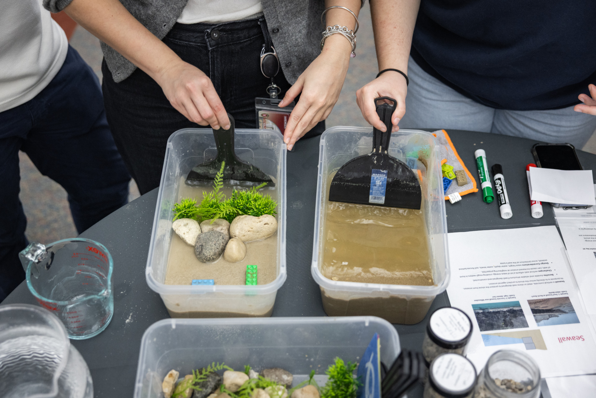
Across Wisconsin, some fields are particularly susceptible to manure finding its way to nearby surface water. Factors include distance to that water, soil types, the type and method of applying manure, soil composition and topography. Weather can also play an exacerbating role. The water adjacent to fields may take on a distinctly brown hue if it rains a lot after manure application, there is a glut of snowmelt or the ground is frozen, prohibiting water infiltration.
Groundwater can also be affected. In addition to a lot of cows, Wisconsin has a lot of karst topography. That means, below the soil, there are soluble rocks offering favorable conditions for easy surface water to groundwater exchange and leading to an increased risk of groundwater contamination. Because seven in 10 state residents get drinking water from groundwater, there is a threat to public health.
Since Wisconsinites and out-of-state dairy consumers are not giving up on milk and cheese, and there is equal love for clean water, how to address the poop issue? “There could be manure runoff and that has created conflicts throughout the state in different areas,” said Amber Saylor Mase, who has surveyed Wisconsin farmers and professional manure applicators on their manure-handling practices.
Mase is an evaluation specialist at the Environmental Resources Center at University of Wisconsin-Madison College of Agricultural and Life Sciences and University of Wisconsin-Extension and is backed by funding from a Great Lakes Restoration Initiative award to the National Weather Service and through Sea Grant.
Her focus group was comprised of concentrated animal feeding operation farmers and professional manure haulers. Mase noted, “They did talk about weather but they also spent a lot of time talking about scrutiny of the public. People are watching them. The general public not understanding what they are seeing but being concerned.”
Balance that, Mase said, with what farmers and manure haulers fervently stated: “We want to leave the land and resources in good shape. We don’t want to contaminate the water.”
Enter partners. In addition to the National Weather Service, expertise of those from the following agencies have contributed to the creation and 2011 launch of the Runoff Risk Advisory Forecast (RRAF): U.S. Geological Survey; U.S. Department of Agriculture, Natural Resources Conservation Service; University of Wisconsin-Extension Discovery Farms; University of Wisconsin-Madison Soil Science Department; and Wisconsin Department of Natural Resources, and led by the Wisconsin Department of Agriculture, Trade and Consumer Protection.
The RRAF is updated three times a day and is a non-regulatory approach to simultaneously support agricultural operations and protect waters. The web-based tool uses geographic information systems mapping to provide visualization of the variation in risk of runoff across Wisconsin. Weather-wise, it looks ahead up to 10 days, depending on the season. Farmers and manure haulers can check this tool when they are planning to spread manure, and can shift the day of an application or the fields on which they would apply, all with the goal of reducing the risk of freshly applied manure from running off. In fact, this tool can also be employed to gauge the best time and conditions to retain any kind of fertilizer on a field, not just manure.
A familiar line from the movie Field of Dreams is, “If you build it, they will come.” Evaluation of the tool has been crucial to understanding if the tool is being used. How the tool is being used is also being evaluated. A tweaked RRAF was presented at the January 2017 meeting of the Professional Nutrient Applicators Association of Wisconsin, with a follow-up survey of attendees.
Results found that 65 percent of respondents were likely or very likely to use the RRAF to make manure-spreading decisions and 84 percent said they would tell fellow haulers and farmers about it. Other results indicated nutrient applicators prefer an email or text alert only when the risk of runoff—based on factors such as rainfall, snowfall, soil moisture, along with evapotranspiration rates, humidity and soil temperature—is high.
Next steps involve even more evaluation. Late last summer, Wisconsin hosted the North American Manure Expo and surveys will be distributed this winter to ask the Badger State attendees about the RRAF.
In addition to the surveys, Mase said, “We might do some more focus grouping with different types of potential users. In the past, we only talked to the larger and professional applicators. We didn’t talk to smaller farmers. I had asked the RRAF team, ‘Who are your main target audiences? Is your goal mainly to get the larger farms that are handling the most manure or the largest amount of land affected or the most farmers using it?’ They responded, ‘All of the above.’ So, we haven’t really addressed the larger number of smaller farms in the state.”
Mase’s efforts are running parallel to the RRAF going regional. Dustin Goering, a hydrologist with the National Weather Service’s North Central River Forecast Center, is spearheading expansion of the tool’s use into Ohio, Michigan and Minnesota.
“I’m excited to be involved in the development of these runoff risk tools for the Great Lakes region for many reasons. Everyone we talk to immediately recognizes the need that these tools address in providing real-time actionable guidance to farmers and producers so they can make the best short-term nutrient application decisions.”
He continued, “Ideally, these tools catch on via voluntary adoption across the sector and over time provide not only environmental benefits through reduced nutrient losses from fields but also an economic benefit as producers won’t have to reapply to replace nutrients they may have just lost in a runoff event.”
Collaboration with multiple partners—agencies, universities, and industry—across the various states to develop these low-cost and free-to-user tools was foundational for what the tool could become. “It’s my hope that we’ll continue to build relationships and incorporate feedback, allowing continual model improvement and enhancement and ultimately leading to increased runoff risk adoption and impact going forward,” he said.
Also on the docket is RRAF version 2.0. Now, the tool displays an entire watershed basin but a new iteration will serve up a two-kilometer-by-two-kilometer grid map for a more granular look at a farmer’s back forty. Starting next year, the team will begin development of a tool to generate runoff risk from the National Weather Service’s newest hydrologic model, the National Water Model.
In addition to guidance offered at higher resolutions with more frequent updates, this model could be used in non-Great Lakes states. “It’s our hope that as we continue to improve these tools that runoff risk becomes synonymous with the “Right Time” message and we see improved water quality from our local lakes and streams all the way to the Great Lakes and to the Gulf of Mexico,” Goering concluded.