Joe Dwyer’s never been to Wisconsin prior to this summer—but over the course of the next two years, he’ll get a crash-course in Great Lakes geography and Wisconsin’s coastal communities. And in the process, he will very likely enhance them both.
Dwyer is a Massachusetts native who graduated from the Marine Affairs Program at the University of Rhode Island. He’s also the 2016 NOAA Coastal Management Fellow, assigned to work with Wisconsin Sea Grant and the Wisconsin Coastal Management Program. Dwyer was matched with Wisconsin a pool of 12 finalists for the fellowship earlier this year. He began his fellowship on August 22.
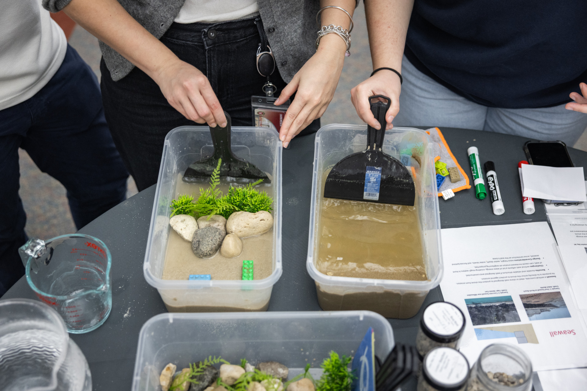
His first task will be to complete an inventory of public lands and Great Lakes public access locations for the Coastal Management Program. The inventory will help the program assess future needs for land acquisition and access development.
“Joe is eager to dive into his project and to learn about coastal management in Wisconsin,” said Travis Olson, Wisconsin Coastal Management Program’s wetland protection and habitat restoration coordinator.
Dwyer will then use emerging and existing GIS tools–like the Sea Grant-developed Wisconsin Coastal Atlas–to enhance the state’s coastal Great Lakes tourism. Dwyer will travel to major coastal communities such as Milwaukee, Green Bay and Ashland, there to visit public access points to the lakes and engage with community members and stakeholders on ways to enhance coastal tourism using GIS tools and other technologies.
“Joe brings a good skill set across a range of disciplines to this project,” said David Hart, Wisconsin Sea Grant’s assistant director for extension and GIS specialist. “He’s excited to be here.”
Dwyer’s more familiar with the Great Lakes than his East Coast education might suggest. Several of the advisors to his master’s program were Great Lakes-based.
“They always referred to the region as the fourth coast,” said Dwyer. “Now I get to see it for myself.”
During his final year as an undergraduate, Dwyer did a coastal fellowship in the Cape Cod area. He deployed the GIS mapping skills he’d learned to measure the possible impact of constructing an offshore wind farm in an area south of Martha’s Vineyard might have on local fisheries.
“It was my first real look at applying things from the classroom to a pertinent real-world issue,” he said.
His findings ended up being published in the Journal of Marine Policy and may eventually inform the project if it moves ahead. The corporation behind the project, Deep Water Wind, has purchased the area but has yet to erect any turbines.
“They may or may not use our data,” said Dwyer. “But collecting it was a worthwhile experience to understand how data may impact policy.”
The work Dwyer will do in Wisconsin echoes the project he did to complete his master’s thesis at the University of Rhode Island. While there, he studied the Block Island Wind Farm demo project—a controversial project, given that it was the first offshore wind farm constructed in the United States, constructed to convince investors that an offshore wind farm was viable.
“There was pushback from some of the community over the project,” Dwyer recalled. “I interviewed developers, state managers and members of the public about what they thought worked and didn’t work. I discovered that trust between public process leaders and the public was an essential factor to building support.”
Dwyer will spend most of his time at the offices of the Wisconsin Coastal Management program, but will collaborate with Wisconsin Sea Grant on activities such as co-monitoring Undergraduate Research Scholars who explore how urban planning can create opportunities for “deep Travel” of Great Lakes communities.
“I’m excited to not be going back to school for the first time since kindergarten,” Dwyer laughed. “The work I’ll be doing essentially gives me my own project for the first time, I get to craft it and make it my own.”