They are diverse group—a geoscientist, limnologist and natural resources educator. Also on the team is a water chemist, biologist, civil engineer and watershed scientist. As collaborators on a Sea Grant-funded effort to envision conditions in Green Bay, you could also say they are soothsayers.
It’s a project called Transitioning Science to Management: Developing Models and Tools to Restore the Health of the Green Bay Ecosystem, which is seeking to understand and evaluate alternative approaches to meet water quality goals for the Green Bay watershed under current and projected climate. It builds on prior work that assembled a comprehensive set of linked models of watershed loading, biogeochemical cycling and hydrodynamics.
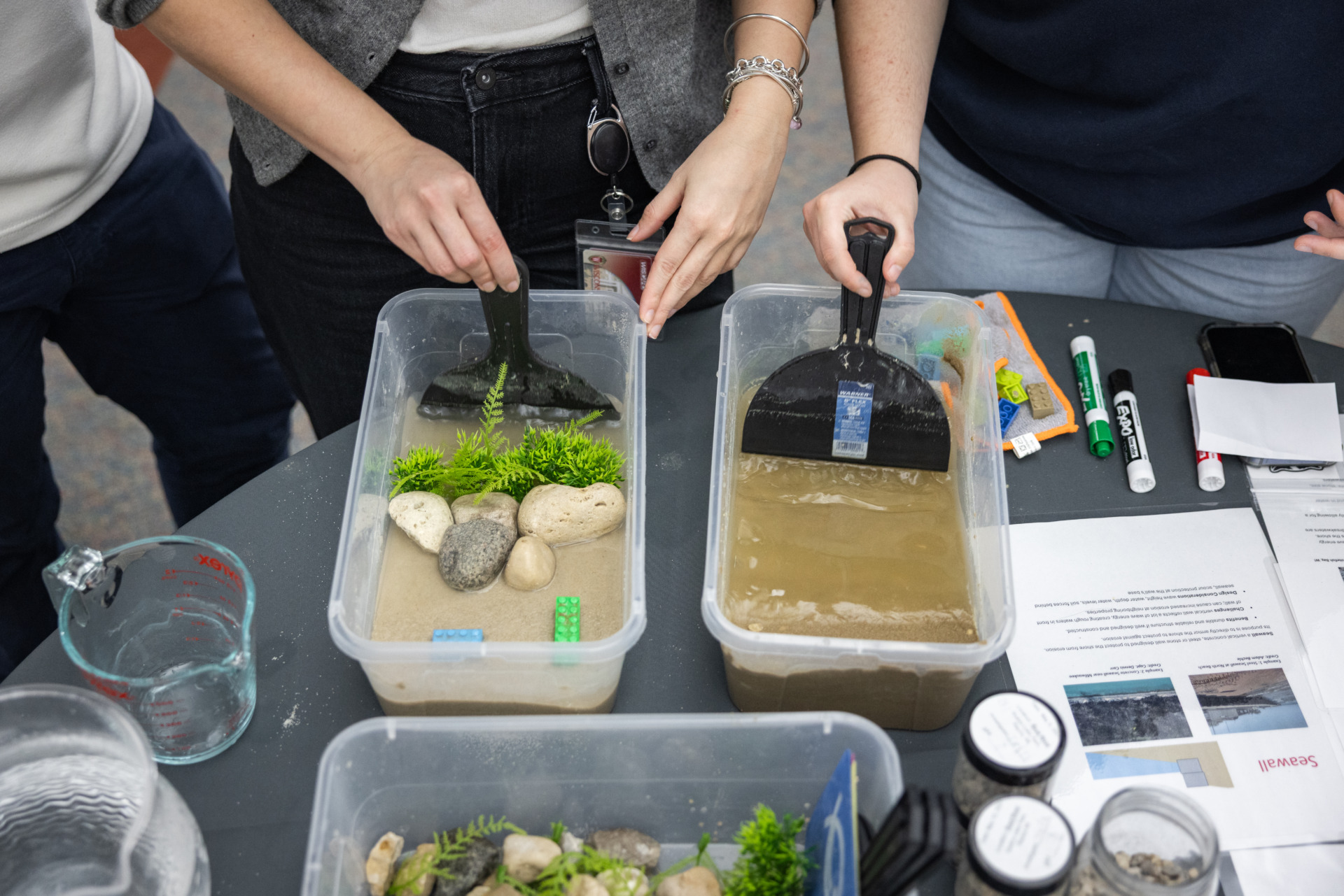
“For me as a chemist, I like to see how all those things—different inputs—interact. How the prediction looks,” said University of Wisconsin-Green Bay Chemistry Professor Mike Zorn. “It really helps to visualize it through models.”
If Zorn and his six co-researchers are, in fact, termed soothsayers then they want to expand their ranks of seers. Their work will enable others to visualize watershed conditions as well.
Val Klump, dean of the University of Wisconsin-Milwaukee School of Freshwater Sciences, said, “There’s quite a bit going on in the watershed in no-till and cover crops and a whole variety of practices because it’s largely the agricultural piece that we’re talking about, although that’s not the only piece. And we have the models that can predict what the nutrient runoff would be under a variety of those scenarios.”
Klump, co-lead investigator on this on this project, continued, “The question is, what happens when it (a reduced phosphorous load) gets to the bay. Does that translate to an improvement in hypoxia, water quality, fewer algal blooms? And if the world changes—which it obviously is going to, it is changing—and the climate changes and we get longer summers and warmer conditions, wetter conditions, will the management practices we put in practice today still get us the reduction that we hope?”
Because the Green Bay ecosystem has been termed the largest freshwater estuary in the world, there is a large amount of acreage to consider. That leads to one of the project’s three goals—validating the accuracy of current and potential future scenarios of land use and management, as well as pollutant pathways.
The next task on the project to-do list is updating the bay model to adequately simulate the influence of sediment nutrient concentrations and waves on the extent and duration of harmful algal bloom severity and hypoxia, a state where there is little to no oxygen in a water system, proving detrimental to plants and animals and often known as a dead zone.
In fact, project investigators note, that while representing only about 7 percent of the surface area and roughly 1.4 percent of the volume of Lake Michigan, Green Bay receives approximately one-third of the total nutrient loading to the lake. Hypereutrophic conditions, including hypoxic dead zones, along with PCB contamination have been persistent features of the bay and are some of the principal criteria for the southern bay’s designation by the U.S. Environmental Protection Agency (EPA) as an Area of Concern (AOC). Such a designation directs intensive cleanup to a geographic location. This is one of 27 AOCs within the Great Lakes Basin.
EPA professionals will be the ones to assess factors that are healing the system to the point of being able to delist the Lower Green Bay and Fox River AOC. Those EPA experts are just one segment of a number of critical audiences for the project. That, then, points to the third and final goal of Transitioning Science to Management, which is getting information to resource managers and others.
Kevin Fermanich, the second co-lead project investigator, ticks off a list that includes the local wastewater treatment organization, known as NEW Water; Natural Resources Conservation Service; Oneida Nation; Ducks Unlimited; local land and water conservation departments; agronomists; planners; watershed and fisheries managers at the state and federal level; land trusts; the Fox Wolf Watershed Alliance; Alliance for the Great Lakes; and high school and college instructors and students.
Fermanich is a faculty member at the University of Wisconsin-Green Bay. As a professor of natural and applied sciences, he has taught courses incorporating some of the models in this project previously developed due to support from the National Oceanic and Atmospheric Administration’s Coastal Hypoxia Research Program, Erb Foundation and University of Michigan Water Center.
“I have used these multiple models and if it’s in a more usable format online, we could actually assign laboratory exercises where students would go and have to create simulations. I’ve done that before and there’s been some really great learning experiences but it’s been clunky and unstable at this point,” he said.
Looking ahead, Fermanich said, “One of our hopes is to target educators, create a workshop for educators, so that people teaching environmental science in high school or at our level here, in college, could use it.”
Fermanich and others on his team represent many disciplines of science but not so much the computer science field. Having said that, they do know a basic truth about the existing models: They rely on a massive amount of data and require a tremendous amount of bytes to operate.
“The bulk, the hugeness of the previous linked models and getting them to a computer and making them run, that has to be improved upon,” Zorn observed.
Fermanich expands on that comment. “A really major piece of this project is to translate the complexity of all of these models and model outputs into something that’s more useable to decision makers, stakeholders and conservation people.”
Once that complexity is reduced, the material will be shared at workshops, webinars and presentations, which will also—importantly—make room for two-way information sharing. Zorn and Fermanich stressed that it is critical to offer management scenarios relevant to stakeholders in an ongoing process, allowing for modification reflecting on-the-ground practices, such as reduced agricultural tillage or an expanded perennial landscape.
Beyond the already extensive list of stakeholders who could directly use the models, it’s almost certain this work will resonate with average folks touched by projects such as the $7 million Bay Beach restoration in the city of Green Bay. There are plans for a new nearly 3-mile beach, beach house and boardwalk. A fishing pier will stretch into the water by 450 feet, bringing anglers that much closer to prized yellow perch and other desirable catches.
Water-quality issues have plagued this area since the 1940s and despite recent improvements, there is little to no public access to the bay. Thanks to modeling, ongoing restoration can be informed by different scenarios and projections.
You don’t have to be soothsayer to foresee this could lead to many happy people.